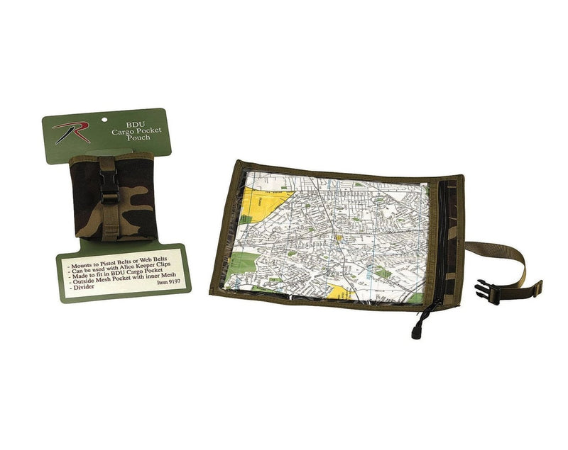
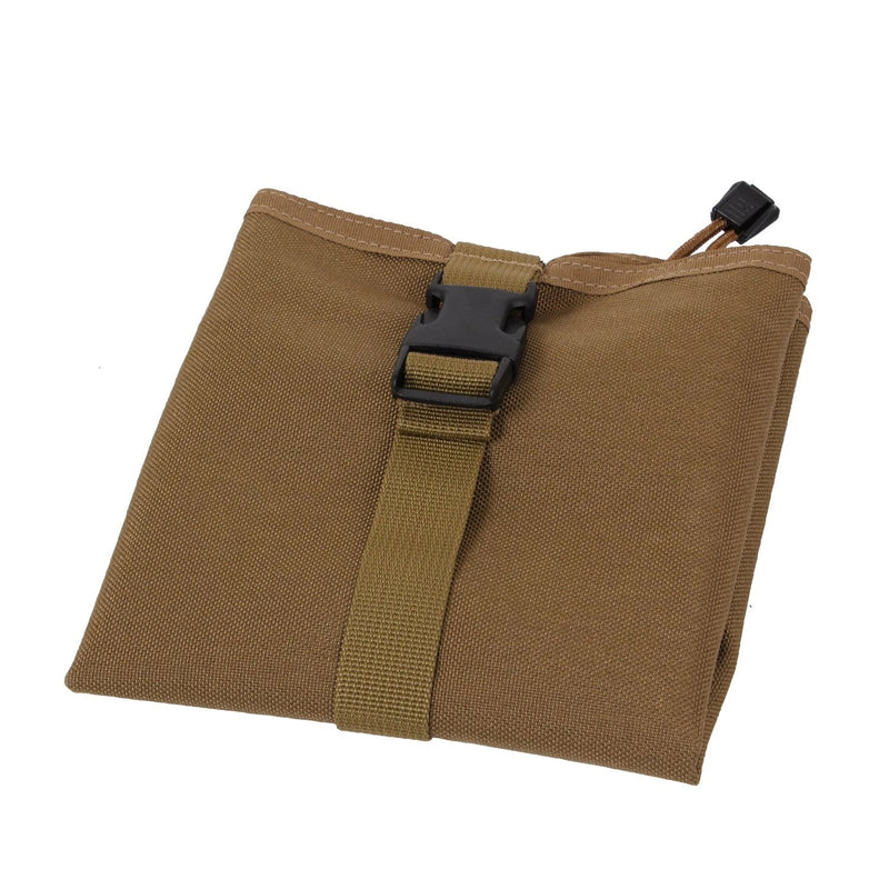
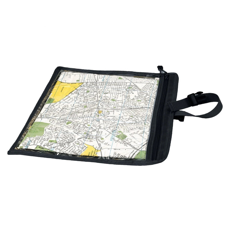
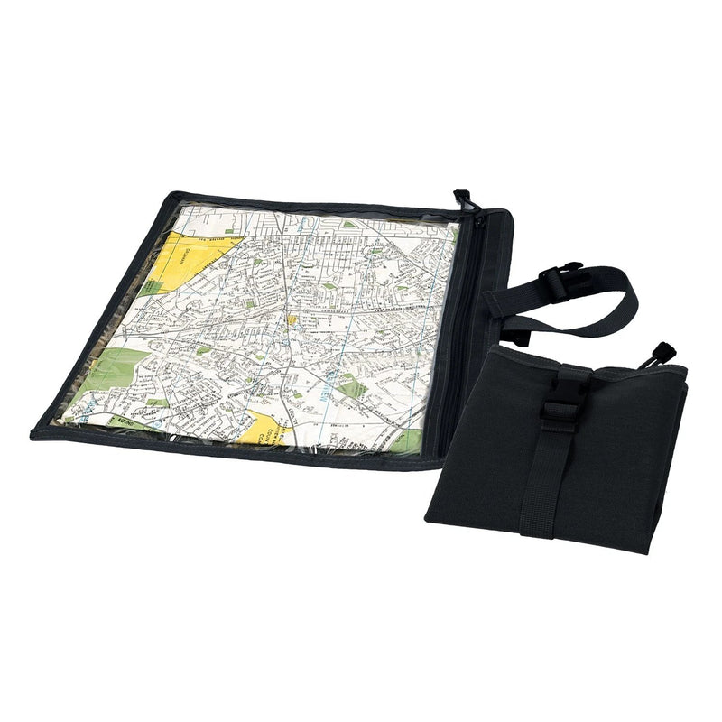
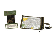
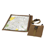
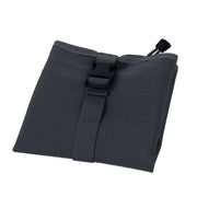
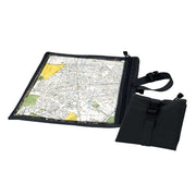
Command-Grade Protection for Critical Intel - The Rothco Map and Document Case is the standard-issue solution for keeping grid coordinates, mission papers, and communication frequencies legible in the worst conditions. Unlike basic plastic sleeves that crack in the cold, this carrier is constructed from heavy-duty water-resistant nylon paired with a durable clear vinyl window. It serves as a mobile command board, allowing you to read maps and write orders directly on the overlay without exposing your documents to rain, mud, or snow.
Key Features
- Rugged Nylon Construction: The exterior shell is built from 100% Nylon to withstand field abrasion, tearing, and wet environments.
- Clear Vinyl Interface: A full-size transparent vinyl window allows for immediate map reading and can be marked with grease pencils or dry-erase markers for route planning.
- Double-Layer Waterproofing: Includes two resealable zip-lock storage bags that fit inside the case, providing a secondary fail-safe barrier against total submersion.
- Tactical Drainage: Equipped with metal grommets to instantly drain water if the outer shell is compromised during river crossings or heavy downpours.
- Spacious 13.5" Platform: The large 13.5" x 13.5" footprint accommodates standard folded topographic maps, ensuring you see the full sector without constant refolding.
Why It Matters
In the field, a wet map is a useless map. This case provides a layered defense: a tough outer shell for abrasion resistance and inner resealable bags for moisture control. It allows leaders and navigators to keep critical information accessible on their person without the bulk of a hard case.
How to Use / What Problem It Solves
Slide your map into the clear window for active navigation. Use the resealable inner bags for electronics or sensitive code sheets. It solves the problem of "soggy intel" by keeping papers dry even when you are soaked.
Technical Overview
13.5" x 13.5" | 100% Nylon Shell | Clear Vinyl Window | 2 Waterproof Inserts | Grommet Drains